notes.husk.org/likes
images.
similar to
121437293499
.
24 images, most alike first.
9 images
by request
hamburg
germany
manmade
Satellite Delight
aerial view
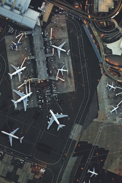
airport
runway
aviation
terminal
transportation
top-down view
infrastructure
aircraft
Daily Overview
aerial view
airport terminal
aviation
aircraft
geometric pattern
top-down view
symmetry
architecture
transportation
Daily Overview
circle
spin
curves
manmade
iris
Satellite Delight
aerial view
airport construction
infrastructure
runway
aviation
construction site
civil engineering
aircraft
top-down view
airport expansion
Daily Overview
airport
aviation
aerial view
runway
taxiway
top-down view
aircraft
infrastructure
aerodrome
Daily Overview
aerial view
cityscape
architecture
city buildings
urban area
high angle shot
urban planning
city view
Dan W, Software Developer
7 images
aerial view
suburban neighborhood
residential area
planned community
urban planning
patterned streets
housing development
concentric patterns
desert
Advanced Methods for Geospatial Image Analysis
6 images
aerial view
top-down view
patterns
infrastructure
transportation
symmetry
geometric pattern
cityscape
logistics
scale
hyperreal cartography & the unrealized city
aerial view
oil refinery
storage tanks
industrial architecture
pipelines
petrochemical plant
top-down view
geometric pattern
industrial infrastructure
fuel storage
rachelbinx
aerial view
satellite imagery
industrial park
warehouse district
commercial area
top-down view
infrastructure
cityscape
logistics center
Daily Overview
aerial view
cityscape
river
bridge
train station
railway tracks
infrastructure
waterway
Daily Overview
aerial view
cityscape
urban planning
radial design
geometric pattern
top-down view
street layout
architecture
city grid
Daily Overview
architectural model
urban planning
aerial view
black and white
cityscape
modern architecture
conceptual design
scale model
hyperreal cartography & the unrealized city
3 images
urbanization
economic shifts
global trade
population growth
infrastructure
future cities
emerging markets
visual metaphor
urban planning
demographic change
hyperreal cartography & the unrealized city
aerial view
railway yard
train tracks
infrastructure
logistics
transportation hub
satellite imagery
industrial landscape
railroad depot
transportation network
Daily Overview
airport
aviation
aerial view
travel
transportation
aircraft
terminal
runway
top-down view
rachelbinx
3d model
cityscape
architectural rendering
digital twin
3d mapping
computer graphics
city model
urban planning
cartography
The New Aesthetic
Dan W, Software Developer
constant
constant nieuwenhuys
new babylon
urbanism
architecture
situationism
LESS IS MORE
enewetak
marshall islands
Stochastic Planet
10 images
ed ruscha
book
photography
LESS IS MORE
aerial view
airport
runway
satellite imagery
cityscape
top-down view
aviation
infrastructure
residential area
Daily Overview
6 images
aerial view
building segmentation
cityscape
urban analysis
3d reconstruction
data visualization
new york city
geospatial data
computer vision
digital twin
Notational