notes.husk.org/likes
images.
similar to image 7 of
92646395339
.
24 images, most alike first.
aerial view
suburban neighborhood
residential area
houses
rooftops
cityscape
street pattern
suburbia
housing development
Daily Overview
6 images
aerial view
top-down view
patterns
infrastructure
transportation
symmetry
geometric pattern
cityscape
logistics
scale
hyperreal cartography & the unrealized city
bradninch
devon
england
uk
Stochastic Planet
aerial view
highway interchange
infrastructure
urban planning
transportation
road
spaghetti junction
civil engineering
top-down view
trafficway
Daily Overview
prison
guillaume gillet
architecture
repression
LESS IS MORE
3 images
aerial view
modern architecture
corporate campus
office complex
sprawling building
woodland landscape
unique architecture
research facility
architectural design
Dan W, Software Developer
aerial view
black and white
cityscape
vintage photograph
architecture
neighborhood
city grid
historical view
Tecznts
aerial view
satellite imagery
suburban landscape
residential area
housing development
top-down view
urban planning
neighborhood
infrastructure
street pattern
Daily Overview
aerial view
satellite imagery
urban planning
circular pattern
radial design
planned community
geometric pattern
suburban landscape
residential development
Daily Overview
7 images
shipping containers
cargo port
aerial view
container terminal
maritime
logistics
gantry cranes
supply chain
shipping yard
industrial
Engineering Dept.
aerial view
railway yard
train tracks
infrastructure
logistics
transportation hub
satellite imagery
industrial landscape
railroad depot
transportation network
Daily Overview
aerial view
parking lot
cars
top-down view
pattern
vehicles
logistics
grid
massive scale
distribution center
Dan W, Software Developer
4 images
modern architecture
modern design
office complex
corporate campus
aerial view
forest landscape
unique architecture
building
glass architecture
landscape architecture
Dan W, Software Developer
highway interchange
aerial view
infrastructure
transportation
road
freeway
urban planning
satellite imagery
overpass
highway system
markasaurus
satellite imagery
aerial view
residential area
suburban neighborhood
housing development
street map
urban planning
houses
top-down view
neighborhood layout
the satellite tourist
4 images
runway
aerial view
satellite imagery
airport
aviation
airstrip
top-down view
infrastructure
transportation
STML
5 images
nuclear
clouds
atomic
nuclear power
chernobyl
fav
manmade
Satellite Delight
stonehenge
aerial view
england
ancient monument
prehistoric
landscape
archaeology
megalithic
heritage site
things magazine tumblr
aerial view
satellite imagery
cityscape
top-down view
vacant lots
real estate
urban planning
suburban area
land use
property maps
Notational
shipping containers
cargo port
aerial view
logistics
maritime
supply chain
freight
container terminal
industrial
shipping yard
The New Aesthetic
aerial view
architecture
symmetry
geometric pattern
blue roof
building complex
top-down view
pattern
satellite imagery
Daily Overview
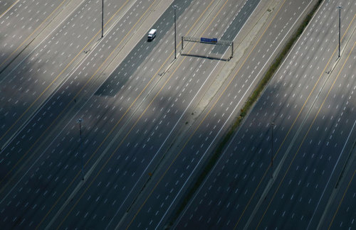
highway
aerial view
expressway
infrastructure
transportation
motorway
lane markings
top view
road
rachelbinx
aerial view
parking lot
cars
top-down view
automobiles
pattern
river
car storage
Daily Overview
6 images
aerial view
satellite imagery
salt evaporation ponds
salt flats
abstract patterns
landscape
earth tones
salt pans
top-down view
mineral deposits
hyperreal cartography & the unrealized city