notes.husk.org/likes
images.
similar to
108653110529
.
24 images, most alike first.
highway interchange
aerial view
satellite imagery
infrastructure
road junction
transportation
landscape
cloverleaf
top-down view
road
Daily Overview
aerial view
train yard
railway tracks
freight train
logistics
transportation
industrial
freight
railroad
pattern
Daily Overview
aerial view
highway interchange
infrastructure
urban planning
transportation
road
spaghetti junction
civil engineering
top-down view
trafficway
Daily Overview
aerial view
highway interchange
road
infrastructure
geometric pattern
top-down view
overpass
arid landscape
urban planning
transportation
Daily Overview
6 images
aerial view
top-down view
patterns
infrastructure
transportation
symmetry
geometric pattern
cityscape
logistics
scale
hyperreal cartography & the unrealized city
highway interchange
aerial view
infrastructure
transportation
road
freeway
urban planning
satellite imagery
overpass
highway system
markasaurus
Dan W, Software Developer
aerial view
open-pit mine
quarry
satellite imagery
terraced landscape
mining site
earthworks
topography
industrial landscape
excavation
Tecznts
glitch art
maps
google earth
daliesque
Eating at the trash bin of Ideology
aerial view
suburban neighborhood
residential area
houses
rooftops
cityscape
street pattern
suburbia
housing development
Daily Overview
7 images
aerial view
suburban neighborhood
residential area
planned community
urban planning
patterned streets
housing development
concentric patterns
desert
Advanced Methods for Geospatial Image Analysis
highway interchange
cloverleaf junction
vintage illustration
retro
traffic flow
aerial view
mid-century modern
road
automobiles
landscape illustration
things magazine tumblr
4 images
runway
aerial view
satellite imagery
airport
aviation
airstrip
top-down view
infrastructure
transportation
STML
aerial view
satellite imagery
suburban landscape
residential area
housing development
top-down view
urban planning
neighborhood
infrastructure
street pattern
Daily Overview
highway interchange
aerial view
snow
black and white
infrastructure
overpass
road
winter
cityscape
❁ ❀ ✿ ✾
9 images
aerial view
oil pumpjack
satellite imagery
desert
industrial landscape
oil extraction
arid terrain
top-down view
energy industry
earth tones
Notational
aerial view
agricultural landscape
abstract patterns
topographic view
agriculture
drone shot
terraced fields
earth tones
texture
cultivated land
Daily Overview
aerial view
railway yard
train tracks
infrastructure
logistics
transportation hub
satellite imagery
industrial landscape
railroad depot
transportation network
Daily Overview
2 images
aerial view
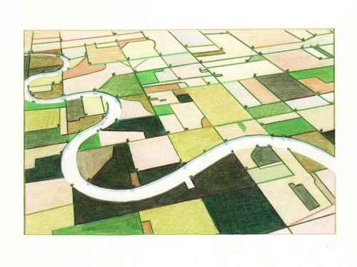
landscape illustration
winding river
agriculture
colored pencil drawing
agricultural landscape
nature art
green fields
river valley
pastoral scene
things magazine tumblr
3 images
cityscape
black and white
isometric
architectural pattern
geometric
aerial view
abstract
repeating pattern
6 images
textiles
fabric
design
pattern
russia
ussr
cccp
20s
30s
TOMBOLARE
architecture
archigram
plans
project
concept
ARCHI/MAPS
2 images
satellite imagery
aerial view
agriculture
crop fields
geometric pattern
irrigation
landscape
land use
mosaic pattern
Fresser.
2 images
road
swerve
beach
sand
wanderlust
manmade
Satellite Delight