notes.husk.org/likes
images.
similar to image 3 of
117998508925
.
24 images, most alike first.
aerial view
parking lot
cars
top-down view
automobiles
pattern
river
car storage
Daily Overview
aerial view
railway yard
train tracks
freight cars
logistics
transportation
industrial
infrastructure
railroad
top-down view
Daily Overview
aerial view
aircraft storage
airplane boneyard
satellite imagery
aviation
desert
aircraft graveyard
top-down view
pattern
planes
Daily Overview
9 images
aerial view
oil pumpjack
satellite imagery
desert
industrial landscape
oil extraction
arid terrain
top-down view
energy industry
earth tones
Notational
aerial view
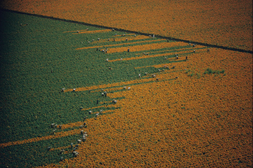
agriculture
pattern
landscape
sunflower field
crops
texture
geometric
nature
Tecznts
3 images
energy
solar
california
engineering
science
conservation
KQEDScience
7 images
aerial view
suburban neighborhood
residential area
planned community
urban planning
patterned streets
housing development
concentric patterns
desert
Advanced Methods for Geospatial Image Analysis
aerial view
rail yard
freight trains
agriculture
center-pivot irrigation
industrial
top-down view
irrigation patterns
railway tracks
Daily Overview
aerial view
airplane boneyard
aircraft storage
desert
aviation
top down view
retired aircraft
aerospace
industrial landscape
Daily Overview
aerial view
agriculture
farming
crops
green fields
desert
geometric pattern
top-down view
cultivation
irrigation
Daily Overview
solar energy
renewable energy
solar farm
concentrated solar power
heliostats
sustainable energy
satellite imagery
clean energy
green technology
power plant
Daily Overview
4 images
solar farm
solar panels
desert
aerial view
renewable energy
solar array
satellite imagery
geometric pattern
solar energy
clean energy
STML
aerial view
satellite imagery
center-pivot irrigation
agriculture
arid landscape
irrigation patterns
crop fields
desert agriculture
The New Aesthetic
8 images
nazca lines
nazca line
geoglyph
geography
ancient history
fav
?
Satellite Delight
aerial view
industrial landscape
residential area
storage tanks
oil depot
urban planning
top-down view
cityscape
infrastructure
land use
Daily Overview
aerial view
satellite imagery
desert
top-down view
paved tracks
geometric pattern
arid environment
infrastructure
minimalist composition
desert terrain
Daily Overview
solar panels
solar farms
solar farm
europe
why not usa?
manmade
Satellite Delight
10 images
ed ruscha
book
photography
LESS IS MORE
aerial view
suburban neighborhood
residential area
houses
rooftops
cityscape
street pattern
suburbia
housing development
Daily Overview
benjamin sack
american contemporary art
dystopian art
Pierre Menard
6 images
aerial view
satellite imagery
salt evaporation ponds
salt flats
abstract patterns
landscape
earth tones
salt pans
top-down view
mineral deposits
hyperreal cartography & the unrealized city
aerial view
aircraft
airport
aviation
airfield
runway
desert
top-down view
flight school
Daily Overview
military
abandoned
decay
cemetery
usa
design
Architecture of Doom
aerial view
satellite imagery
suburban landscape
residential area
housing development
top-down view
urban planning
neighborhood
infrastructure
street pattern
Daily Overview