notes.husk.org/likes
images.
similar to
43294957421
.
24 images, most alike first.
satellite imagery
aerial view
residential area
suburban neighborhood
housing development
street map
urban planning
houses
top-down view
neighborhood layout
the satellite tourist
google search
mapquest
2001
retro internet
digital maps
cartography
internet history
vintage web
search engine
web design
Tecznts
aerial view
parking lot
cars
top-down view
pattern
vehicles
logistics
grid
massive scale
distribution center
Dan W, Software Developer
satellite imagery
aerial view
collage
cityscape
mosaic
cartography
topography
geographic patterns
urban planning
Dan W, Software Developer
4 images
arizona
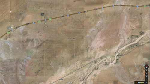
sun valley
urbanism
grids
hautepop
hybrid
submission
The Amazing iOS 6 Maps
satellite imagery
aerial view
urban area
residential neighborhood
street map
cityscape
top-down view
neighborhood layout
infrastructure
architecture
The New Aesthetic
6 images
new york city
central park
skyline
skyscraper
urban planning
3d rendering
shadow study
cityscape
foreverdigital
aerial view
highway
traffic
road
cars
satellite imagery
cityscape
infrastructure
motorway
top-down view
the satellite tourist
aerial view
satellite imagery
suburban landscape
residential area
housing development
top-down view
urban planning
neighborhood
infrastructure
street pattern
Daily Overview
aerial view
landscape
agriculture
fields
canal
digital art
mosaic
geometric pattern
abstract
top-down view
Dan W, Software Developer
2 images
kfc
google satellite
ch-ch-changes
the satellite tourist
10 images
ed ruscha
book
photography
LESS IS MORE
4 images
runway
aerial view
satellite imagery
airport
aviation
airstrip
top-down view
infrastructure
transportation
STML
life
what is this even
9 images
by request
hamburg
germany
manmade
Satellite Delight
residential area
suburban street
neighborhood
houses
sunny day
sky
street scene
architecture
greenery
suburbs
things magazine tumblr
dibujo
radar
agustín infante k., arquitecto
border hacks
mexico
Eating at the trash bin of Ideology
satellite imagery
aerial view
coastal town
urban grid
waterfront
cityscape
top-down view
port
infrastructure
coastline
Daily Overview
landsat
chernobyl
gif
Pappus' plane 2
6 images
aerial view
top-down view
patterns
infrastructure
transportation
symmetry
geometric pattern
cityscape
logistics
scale
hyperreal cartography & the unrealized city
imperial valley
centinela
el centro
jetski
prison
google satellite
the satellite tourist
aerial view
satellite imagery
industrial park
warehouse district
commercial area
top-down view
infrastructure
cityscape
logistics center
Daily Overview