notes.husk.org/likes
images.
similar to
695292354183217152
.
24 images, most alike first.
maps
subways
historical
new york city
Department of Design
pneumatic tube mail
postal history
new york city history
historical map
manhattan geography
mail delivery system
data visualization
urban infrastructure
postal network
historical transportation
Mapnostic
2 images
google books
digitization
art
lit
tech
books
folded
obscured
maps
cartography
england
old books
rare books
used books
book arts
library
libraries
The Art of Google Books
cartography
london
1930s
sandmarg
political cartoon
london history
landlordism
economic inequality
social criticism
housing reform
vintage illustration
anti-landlord propaganda
historical map
social reform
psd
aerial view
black and white
grainy
landscape
vintage
top-down view
texture
abstract
Dan W, Software Developer
5 images
my post
shinjuku
tokyo
japan
1980s
vintage photography
architecture
urbanism
urban development
obsessedbyneon / LuigiDonatello
historical map
telephone network
united kingdom
telecommunications
1895
infrastructure
network diagram
post office
telecommunications history
psd
cooch behar
map
enclaves
india
pakistan
historical map
border
west bengal
cartography
indo-pak border
STML
8 images
san francisco
architecture
topography
urban planning
cartography
grid system
cityscape
urban morphology
graphic design
fuck yeah cartography!
10 images
de havilland comet
aviation
metal fatigue
aircraft investigation
g-alyp
aviation safety
boac
aircraft wreckage
historical aviation
flight safety investigation
STML
3 images
glasgow
architectural drawing
motorway
cityscape
urban planning
monochrome illustration
city infrastructure
charing cross
hyperreal cartography & the unrealized city
8 images
bay area rapid transit
transit
San Francisco Muni Photos
edward tufte
data visualization
process flow
information design
walt disney
disneyland
jamisonwieser.blog
urban planning
city
map
hartford
conneticut
hyperreal cartography & the unrealized city
3 images
architecture
aerial view
wooden building
forest
architectural drawing
autumn foliage
design concept
timber architecture
nature
section drawing
architectural drawing
urban planning
isometric map
shinjuku station
wayfinding
data visualization
diagram
technical drawing
city layout
spatial design
5 images
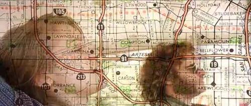
movie still
double exposure
flood
cinematic
los angeles map
superimposition
disaster
submerged
visual effects
Buzz Andersen
san francisco
bart
unbuilt subway
1960
urban planning
transit
subway
hyperreal cartography & the unrealized city
san francisco
monorail
urban planning
transportation map
transit route
infrastructure
public transit
schematic map
mass transit
route diagram
hyperreal cartography & the unrealized city
nautical chart
maritime map
historical map
cartography
ocean chart
sea map
navigation chart
marine map
Dan W, Software Developer
engineering drawing
technical drawing
tunnel plan
longitudinal section
civil engineering
infrastructure map
historical diagram
london transport history
hydraulic engineering
cartographic illustration
psd
historical document
world war ii
the blitz
war damage
diagram
london blitz
civil engineering
military map
archive
1940
Dan W, Software Developer
prospect park
brooklyn
cartography
historical map
city map
urban planning
cadastral map
landscape map
Tecznts