notes.husk.org/likes
images.
similar to
88173957749
.
24 images, most alike first.
landsat
chernobyl
gif
Pappus' plane 2
aerial view
satellite imagery
suburban landscape
residential area
housing development
top-down view
urban planning
neighborhood
infrastructure
street pattern
Daily Overview
aerial view
satellite imagery
industrial park
warehouse district
commercial area
top-down view
infrastructure
cityscape
logistics center
Daily Overview
aerial view
parking lot
cars
top-down view
pattern
vehicles
logistics
grid
massive scale
distribution center
Dan W, Software Developer
aerial view
satellite imagery
cityscape
coastline
top-down view
waterfront
urban grid
blue tones
shoreline
Daily Overview
3 images
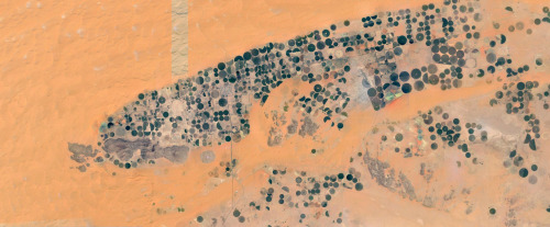
farms
farm life
saudi arabia
desert
orange
man made
Satellite Delight
5 images
power plants intentionally censored by google satellite
censorship
power plant
chernobyl
nuclear
glitch
Satellite Delight
imperial valley
centinela
el centro
jetski
prison
google satellite
the satellite tourist
aerial view
satellite imagery
agricultural land
water basin
geometrical pattern
canal
agriculture
topography
rural scenery
landscape
Dan W, Software Developer
river
desert
farm
cartography
maps and atlases
fav
manmade
Satellite Delight
aerial view
satellite imagery
island
cityscape
ocean
coastline
seascape
dense urban area
blue water
Daily Overview
clouds
rainforest
amazon
deforesting
deforestation
manmade
Satellite Delight
5 images
nuclear
clouds
atomic
nuclear power
chernobyl
fav
manmade
Satellite Delight
border hacks
mexico
Eating at the trash bin of Ideology
2 images
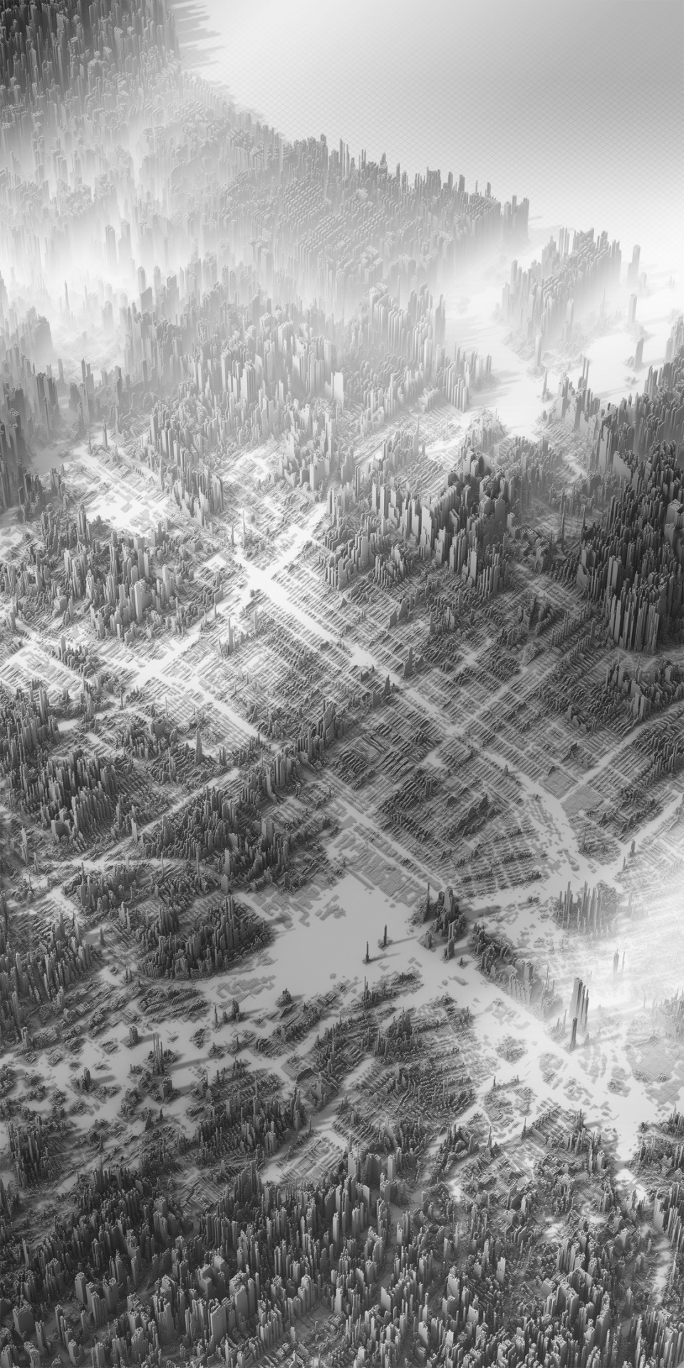
cityscape
digital art
black and white
architecture
abstract
aerial view
skyscraper
dystopian
sci-fi
rachelbinx
3 images
historical map
puget sound
washington state
seattle area
bainbridge island
infrastructure planning
cartography
proposed bridges
pacific northwest
hyperreal cartography & the unrealized city
6 images
aerial view
satellite imagery
salt evaporation ponds
salt flats
abstract patterns
landscape
earth tones
salt pans
top-down view
mineral deposits
hyperreal cartography & the unrealized city
satellite imagery
aerial view
urban area
residential neighborhood
street map
cityscape
top-down view
neighborhood layout
infrastructure
architecture
The New Aesthetic
7 images
aerial view
suburban neighborhood
residential area
planned community
urban planning
patterned streets
housing development
concentric patterns
desert
Advanced Methods for Geospatial Image Analysis
aerial view
black and white
cityscape
vintage photograph
architecture
neighborhood
city grid
historical view
Tecznts
abstract
city map
geometric pattern
digital art
architectural design
top view
minimalism
cityscape
grid
Tecznts
4 images
solar farm
solar panels
desert
aerial view
renewable energy
solar array
satellite imagery
geometric pattern
solar energy
clean energy
STML
aerial view
suburb
residential area
neighborhood
housing development
top-down view
urban planning
suburban landscape
residential community
township
Daily Overview
glitch art
abstract
digital art
fragmented
geometric pattern
deconstructed landscape
texture
earthy tones
modern art
STML