notes.husk.org/likes
images.
tagged desert.
page 2 of 4 with 85 images.
aerial view
arid environment
desert
desert terrain
geometric pattern
infrastructure
minimalist composition
paved tracks
satellite imagery
top-down view
Daily Overview
desert
golf course
green
lonely road
maps
Satellite Delight
2 images
aerial view
arid landscape
desert
evaporation ponds
mineral extraction
pattern
salt pans
satellite imagery
topography
Dan W, Software Developer
aerial view
architectural layout
arid terrain
desert
geometric pattern
man-made structures
satellite imagery
symmetry
top-down view
Daily Overview
desert
electrical towers
giant sphere
minimalism
power lines
sci-fi
surrealism
translucent
vastness
Tecznts
arid
clouds
desert
highway
landscape
nature
open road
road
sky
travel
Apres Garde
aerial view
aviation
container ship
desert
fighter jets
logistics
maritime
military aircraft
suez canal
Dan W, Software Developer
aerospace
aviation
desert
drone
engineering
man
surveillance
technology
Dan W, Software Developer
aerial view
arid landscape
canyon
cliffs
desert
geological formations
landscape painting
nature art
plateaus
watercolor
Tecznts
aerial view
arid terrain
canyon
desert
landscape
nature
reservoir
rocky cliffs
top-down view
waterway
Daily Overview
aerial view
desert
evaporation ponds
lithium mining
mineral extraction
pattern
salt flats
satellite imagery
top-down view
Dan W, Software Developer
aerial view
aerospace
aircraft storage
airplane boneyard
aviation
desert
industrial landscape
retired aircraft
top down view
Daily Overview
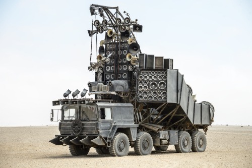
audio equipment
communications equipment
desert
heavy vehicle
horn speakers
loudspeaker array
military truck
specialized machinery
surveillance vehicle
tactical vehicle
things magazine tumblr
aerial view
bridge
causeway
coastline
desert
landscape
minimalism
ocean
top-down view
Daily Overview
crater
desert
dunes
extraterrestrial
landscape
mars
panorama
planetary
red planet
space
Dan W, Software Developer
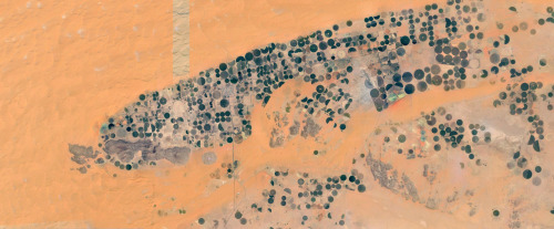
3 images
desert
farm life
farms
man made
orange
saudi arabia
Satellite Delight
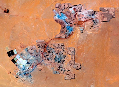
aerial view
arid terrain
desert
earthwork
excavation site
industrial landscape
mining industry
open-pit mine
resource extraction
satellite imagery
Daily Overview
arid
astronomy
desert
dome structure
observatory
open plains
research
science
twilight
vast
BBredux
7 images
aerial view
concentric patterns
desert
housing development
patterned streets
planned community
residential area
suburban neighborhood
urban planning
Advanced Methods for Geospatial Image Analysis
aerial view
aircraft graveyard
aircraft storage
airplane boneyard
aviation
desert
pattern
planes
satellite imagery
top-down view
Daily Overview
aerial view
brine extraction
desert
evaporation ponds
geometric pattern
industrial landscape
lithium mining
salar
salt flats
salt pans
Eating at the trash bin of Ideology
aerial view
clean energy
concentrated solar power
desert
heliostats
renewable energy
solar energy
solar farm
solar thermal plant
sustainability
Notational
abstract landscape
aerial view
desert
geology
landscape
mineral deposits
nature
salt flats
top-down photography
turquoise water
Daily Overview
aerial view
aquaculture
arid environment
desert
evaporation ponds
geometric
reservoir
salt pans
satellite imagery
top-down view
Daily Overview