notes.husk.org/likes
images.
similar to image 1 of
111749077348
.
24 images, most alike first.
aerial view
satellite imagery
center-pivot irrigation
agriculture
arid landscape
irrigation patterns
crop fields
desert agriculture
The New Aesthetic
8 images
aerial view
satellite imagery
industrial landscape
agricultural fields
shipping containers
evaporation ponds
salt pans
geometric pattern
landscape
Notational
satellite imagery
aerial view
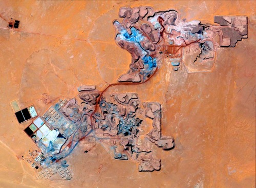
open-pit mine
mining industry
desert
earthwork
resource extraction
arid terrain
excavation site
industrial landscape
Daily Overview
river
desert
farm
cartography
maps and atlases
fav
manmade
Satellite Delight
2 images
geology
geography
island
rocks
beach
natural
Satellite Delight
2 images
road
swerve
beach
sand
wanderlust
manmade
Satellite Delight
abstract
geometric pattern
grid design
earth tones
textured composition
minimalist aesthetic
collage
modernist art
muted palette
geometric
Daily Overview
6 images
australia
geometry
geography
architecture
modified
?
fav
Satellite Delight
aerial view
satellite imagery
desert
remote settlement
arid region
top-down view
sand terrain
town cluster
road
geographic view
Dan W, Software Developer
glitch art
abstract
digital art
fragmented
geometric pattern
deconstructed landscape
texture
earthy tones
modern art
STML
aerial view
sand dunes
desert
satellite imagery
topography
sand patterns
desert terrain
natural patterns
airstrip
The New Aesthetic
4 images
solar farm
solar panels
desert
aerial view
renewable energy
solar array
satellite imagery
geometric pattern
solar energy
clean energy
STML
2 images
aerial view
satellite imagery
evaporation ponds
salt pans
mineral extraction
arid landscape
desert
topography
pattern
Dan W, Software Developer
clouds
rainforest
amazon
deforesting
deforestation
manmade
Satellite Delight
aerial view
satellite imagery
evaporation ponds
salt flats
desert
mineral extraction
pattern
top-down view
lithium mining
Dan W, Software Developer
2 images
river
red
desert
landscape
mars
not mars
nature
?
Satellite Delight
6 images
aerial view
satellite imagery
salt evaporation ponds
salt flats
abstract patterns
landscape
earth tones
salt pans
top-down view
mineral deposits
hyperreal cartography & the unrealized city
aerial view
landscape
salt flats
desert
mineral deposits
turquoise water
top-down photography
nature
geology
abstract landscape
Daily Overview
aerial view
satellite imagery
evaporation ponds
salt pans
desert
aquaculture
reservoir
top-down view
arid environment
geometric
Daily Overview
circles
dots
desert
libya
farms
manmade
vex
Satellite Delight
solar panels
solar farms
solar farm
europe
why not usa?
manmade
Satellite Delight
landsat
chernobyl
gif
Pappus' plane 2
aerial view
construction site
dirt road
land development
earthwork
top-down view
landscape
dry soil
tire tracks
construction area
the satellite tourist
9 images
aerial view
oil pumpjack
satellite imagery
desert
industrial landscape
oil extraction
arid terrain
top-down view
energy industry
earth tones
Notational