notes.husk.org/likes
images.
similar to image 1 of
120084384350
.
24 images, most alike first.
2 images
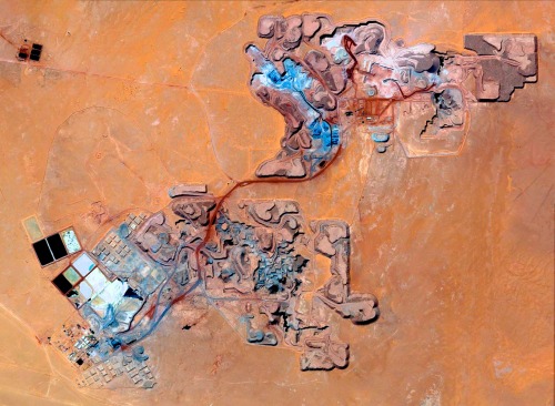
aerial view
satellite imagery
evaporation ponds
salt pans
mineral extraction
arid landscape
desert
topography
pattern
Dan W, Software Developer
aerial view
satellite imagery
evaporation ponds
salt flats
desert
mineral extraction
pattern
top-down view
lithium mining
Dan W, Software Developer
8 images
aerial view
satellite imagery
industrial landscape
agricultural fields
shipping containers
evaporation ponds
salt pans
geometric pattern
landscape
Notational
3 images
aerial view
mountains
cityscape
landscape
topography
urban sprawl
skyline
nature
high altitude
panoramic
Dan W, Software Developer
aerial view
landscape
salt flats
desert
mineral deposits
turquoise water
top-down photography
nature
geology
abstract landscape
Daily Overview
aerial view
satellite imagery
evaporation ponds
salt pans
desert
aquaculture
reservoir
top-down view
arid environment
geometric
Daily Overview
aerial view
satellite imagery
evaporation ponds
lithium mining
salt flats
desert
red earth
top-down view
mineral extraction
geometric pattern
Daily Overview
aerial view
winding road
rugged terrain
desert
curvy road
landscape
arid landscape
topography
road trip
nature
Tecznts
aerial view
open-pit mine
quarry
satellite imagery
terraced landscape
mining site
earthworks
topography
industrial landscape
excavation
Tecznts
aerial view
salt flats
lithium mining
evaporation ponds
salt pans
salar
industrial landscape
brine extraction
desert
geometric pattern
Eating at the trash bin of Ideology
aerial view
satellite imagery
meandering river
salt flats
estuary
mudflats
abstract landscape
top-down view
river delta
earth tones
Advanced Methods for Geospatial Image Analysis
landscape painting
watercolor
canyon
desert
cliffs
aerial view
nature art
geological formations
arid landscape
plateaus
Tecznts
aerial view
highway interchange
road
infrastructure
geometric pattern
top-down view
overpass
arid landscape
urban planning
transportation
Daily Overview
2 images
volcano
bolivia
nature
geology
geography
fav
Satellite Delight
aerial view
3d map
topography
landscape
satellite imagery
digital mapping
earthwork
excavation
river
The Amazing iOS 6 Maps
aerial view
terraced landscape
agriculture
topography
nature
pattern
rice terraces
abstract
black and white
landscape
Notational
aerial view
train yard
railway tracks
freight train
logistics
transportation
industrial
freight
railroad
pattern
Daily Overview
geothermal
hot spring
aerial view
mineral deposits
nature
landscape
earth tones
geology
abstract texture
colorful spring
Tecznts
6 images
art
painted photographs
gerhard richter
arpeggia
aerial view
sand dunes
desert
satellite imagery
topography
sand patterns
desert terrain
natural patterns
airstrip
The New Aesthetic
satellite imagery
aerial view
open-pit mine
mining industry
desert
earthwork
resource extraction
arid terrain
excavation site
industrial landscape
Daily Overview
6 images
aerial view
satellite imagery
salt evaporation ponds
salt flats
abstract patterns
landscape
earth tones
salt pans
top-down view
mineral deposits
hyperreal cartography & the unrealized city
4 images
solar farm
solar panels
desert
aerial view
renewable energy
solar array
satellite imagery
geometric pattern
solar energy
clean energy
STML
3 images
farms
farm life
saudi arabia
desert
orange
man made
Satellite Delight