notes.husk.org/likes
images.
similar to
126245384188
.
24 images, most alike first.
fractal
abstract
pattern
generative art
mathematical
texture
complex
cellular
digital art
Notational
aerial view
satellite imagery
meandering river
salt flats
estuary
mudflats
abstract landscape
top-down view
river delta
earth tones
Advanced Methods for Geospatial Image Analysis
aerial view
landscape
salt flats
desert
mineral deposits
turquoise water
top-down photography
nature
geology
abstract landscape
Daily Overview
2 images
river
red
desert
landscape
mars
not mars
nature
?
Satellite Delight
2 images
geology
geography
island
rocks
beach
natural
Satellite Delight
aerial view
meandering river
satellite imagery
oxbow lakes
river bends
nature patterns
topography
sinuous
landscape
waterways
Col. Chris Hadfield
2 images
creep
microchip
aerial photography
satellite photo
veins
Satellite Delight
abstract
black and white
aerial view
landscape
texture
mountains
nature
pattern
Tecznts
planetary surface
rocky terrain
geological texture
topography
satellite imagery
rugged
earth tones
landscape
detailed texture
macro view
BruceS
6 images
australia
geometry
geography
architecture
modified
?
fav
Satellite Delight
3 images
map
cartography
data visualization
night mode map
digital map
urban map
street map
geography
gis visualization
The New Aesthetic
2 images
aerial view
satellite imagery
landscape
water
reservoir
topography
nature
earth tones
abstract landscape
rachelbinx
9 images
wool
fleece
sheep
texture
closeup
natural fiber
wavy
beige
creamy
animal fur
Tupperwolf
squiggle
land mass
island
blue
maps and atlases
glitch
Satellite Delight
7 images
thermal imaging
surveillance
infrared
night vision
drone view
black and white
drone
monitoring
aerial view
Dan W, Software Developer
abstract
macro photography
bubbles
liquid
fluid
texture
organic
oil and water
amber
Notational
8 images
aerial view
satellite imagery
industrial landscape
agricultural fields
shipping containers
evaporation ponds
salt pans
geometric pattern
landscape
Notational
aerial view
satellite imagery
evaporation ponds
salt flats
desert
mineral extraction
pattern
top-down view
lithium mining
Dan W, Software Developer
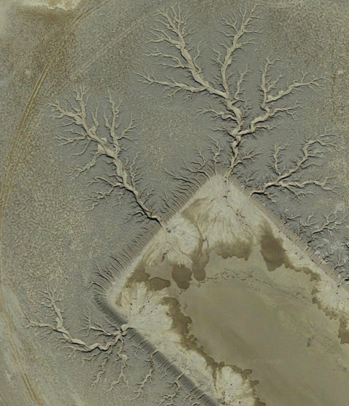
satellite imagery
aerial view
desert
geology
topography
arid terrain
erosion patterns
earth tones
terrain texture
TO INFINITY & BEYOND
warp
swirl
nature
twisted
island
Satellite Delight
collage
arnold del carlo
aerial
1962
teledyne
nemfrog
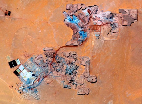
satellite imagery
aerial view
open-pit mine
mining industry
desert
earthwork
resource extraction
arid terrain
excavation site
industrial landscape
Daily Overview
geothermal
hot spring
aerial view
mineral deposits
nature
landscape
earth tones
geology
abstract texture
colorful spring
Tecznts
2 images
black and white
scientific imaging
radiograph
x-ray
abstract
triptych
sequence
grainy
microphotography