notes.husk.org/likes
images.
similar to image 2 of
129975746105
.
24 images, most alike first.
4 images
seattle map
historical map
urban planning
olmsted plan
transit map
vintage cartography
seattle history
municipal plans commission
green lake seattle
hyperreal cartography & the unrealized city
maps
subways
historical
new york city
Department of Design
8 images
architectural model
urban planning
master plan
architecture diagram
city model
physical model
site planning
landscape design
Notational
nautical chart
hydrographic chart
johnston island
cartography
marine map
island map
bathymetry
navigation chart
coastal map
maritime map
Scarpbook
san francisco
bart
unbuilt subway
1960
urban planning
transit
subway
hyperreal cartography & the unrealized city
topographic map
historical map
california
los angeles
cartography
usgs
geography
san fernando valley
BATTERED SHOES
map
california
nevada
grid overlay
data visualization
cartography
geography
topography
united states
spatial data
Tecznts
google search
mapquest
2001
retro internet
digital maps
cartography
internet history
vintage web
search engine
web design
Tecznts
line art
abstract
topography
stippling
hatching
black and white
texture
pattern
ink drawing
Tecznts
satellite imagery
aerial view
coastal town
urban grid
waterfront
cityscape
top-down view
port
infrastructure
coastline
Daily Overview
2 images
google books
digitization
art
lit
tech
books
folded
obscured
maps
cartography
england
old books
rare books
used books
book arts
library
libraries
The Art of Google Books
3 images
hyperreal cartography & the unrealized city
map
urban planning
transit network
transportation map
metropolitan area
topography
infrastructure
cartography
route map
hyperreal cartography & the unrealized city
life
what is this even
hyperreal cartography & the unrealized city
8 images
san francisco
architecture
topography
urban planning
cartography
grid system
cityscape
urban morphology
graphic design
fuck yeah cartography!
architectural drawing
urban plan
cityscape illustration
aerial view
detailed line art
cityscape
city map
intricate drawing
urban planning
fuck yeah cartography!
new york city
historical map
vintage cartography
nyc history
cartography
engraving
urban geography
archival
hyperreal cartography & the unrealized city
new york harbor
cartography
historical map
engraving
maritime
topography
black and white
old document
5 images
movie still
double exposure
flood
cinematic
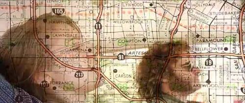
los angeles map
superimposition
disaster
submerged
visual effects
Buzz Andersen
aerial view
satellite imagery
cityscape
coastline
top-down view
waterfront
urban grid
blue tones
shoreline
Daily Overview
2 images
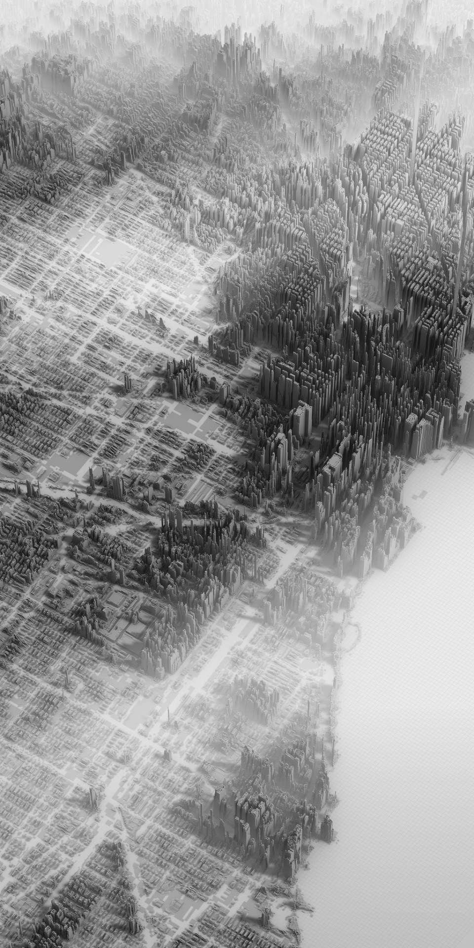
cityscape
digital art
black and white
architecture
abstract
aerial view
skyscraper
dystopian
sci-fi
rachelbinx
6 images
new york city
central park
skyline
skyscraper
urban planning
3d rendering
shadow study
cityscape
foreverdigital
prospect park
brooklyn
cartography
historical map
city map
urban planning
cadastral map
landscape map
Tecznts