notes.husk.org/likes
images.
similar to image 1 of
137501395197
.
24 images, most alike first.
river
desert
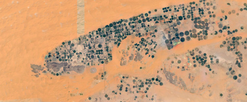
farm
cartography
maps and atlases
fav
manmade
Satellite Delight
imperial valley
centinela
el centro
jetski
prison
google satellite
the satellite tourist
4 images
solar farm
solar panels
desert
aerial view
renewable energy
solar array
satellite imagery
geometric pattern
solar energy
clean energy
STML
aerial view
satellite imagery
desert
runway
airfield
arid terrain
aviation
top-down view
landscape
transportation
One Visible Future
3 images
aerial view
mountains
cityscape
landscape
topography
urban sprawl
skyline
nature
high altitude
panoramic
Dan W, Software Developer
2 images
kfc
google satellite
ch-ch-changes
the satellite tourist
2 images
road
swerve
beach
sand
wanderlust
manmade
Satellite Delight
satellite imagery
aerial view
border
agriculture
landscape
topography
geography
land use
arid terrain
Advanced Methods for Geospatial Image Analysis
STML
6 images
australia
geometry
geography
architecture
modified
?
fav
Satellite Delight
aerial view
sand dunes
desert
satellite imagery
topography
sand patterns
desert terrain
natural patterns
airstrip
The New Aesthetic
green
golf course
desert
lonely road
maps
Satellite Delight
aerial view
satellite imagery
center-pivot irrigation
agriculture
arid landscape
irrigation patterns
crop fields
desert agriculture
The New Aesthetic
9 images
aerial view
oil pumpjack
satellite imagery
desert
industrial landscape
oil extraction
arid terrain
top-down view
energy industry
earth tones
Notational
solar panels
solar farms
solar farm
europe
why not usa?
manmade
Satellite Delight
6 images
aerial view
satellite imagery
salt evaporation ponds
salt flats
abstract patterns
landscape
earth tones
salt pans
top-down view
mineral deposits
hyperreal cartography & the unrealized city
landsat
chernobyl
gif
Pappus' plane 2
3 images
farms
farm life
saudi arabia
desert
orange
man made
Satellite Delight
aerial view
winding road
rugged terrain
desert
curvy road
landscape
arid landscape
topography
road trip
nature
Tecznts
highway
road
landscape
horizon
sky
clouds
open road
arid landscape
nature
travel
Apres Garde
aerial view
satellite imagery
desert
top-down view
paved tracks
geometric pattern
arid environment
infrastructure
minimalist composition
desert terrain
Daily Overview
aerial view
satellite imagery
evaporation ponds
salt pans
desert
aquaculture
reservoir
top-down view
arid environment
geometric
Daily Overview
train
freight train
railroad
utility pole
power lines
sky
landscape
grassland
transportation
freight
Apres Garde
aerial view
construction site
dirt road
land development
earthwork
top-down view
landscape
dry soil
tire tracks
construction area
the satellite tourist