notes.husk.org/likes
images.
similar to
137705653960
.
24 images, most alike first.
san francisco bay
satellite imagery
california
coastline
pacific ocean
aerial view
geography
topography
landscape
Landsat
aerial view
satellite imagery
agriculture
geometric pattern
landscape
topography
grid
fields
cartography
Daily Overview
8 images
architectural model
urban planning
master plan
architecture diagram
city model
physical model
site planning
landscape design
Notational
3 images
historical map
puget sound
washington state
seattle area
bainbridge island
infrastructure planning
cartography
proposed bridges
pacific northwest
hyperreal cartography & the unrealized city
visualization
data visualization
dataviz
d3
polymaps
qgis
maps
mapping
map
cartography
location
oakland
foreclosures
datahacker
weather
radar
mayflies
Cloud Floating in the Blue
map
water supply
california
watersheds
aqueducts
drinking water
environmental protection
hydrology
western united states
water resources
Advanced Methods for Geospatial Image Analysis
hydrology
river network
drainage basin
topography
cartography
geography
digital elevation model
waterways
landscape
Tecznts
4 images
arizona
sun valley
urbanism
grids
hautepop
data visualization
network
connectivity
map
usa
transportation
logistics
infrastructure
interconnectedness
cartography
psd
10 images
urban planning
cartography
park accessibility
land use
urban greenery
public space
environmental mapping
spatial analysis
Notational
topographic map
historical map
california
los angeles
cartography
usgs
geography
san fernando valley
BATTERED SHOES
alaska
map
united states
geography
data visualization
north america
educational
demographics
climate
bering sea
Tupperwolf
map
cartography
software interface
digital mapping
layers
data visualization
map design
vector graphics
Dan W, Software Developer
3 images
web
tech
terrain
cartography
physics
elastic
animation
webgl
prosthetic knowledge
7 images
sea level rise
climate change
global warming
environmental science
geography
flooding
earth science
oceanography
maps
future earth
hyperreal cartography & the unrealized city
2 images
london
map
russian language
street map
cartography
topography
united kingdom
city map
urban geography
atlas
STML
abstract
grid
black and white
digital art
geometric
pattern
glitch art
urban
texture
The New Aesthetic
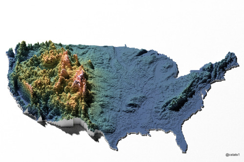
3d map
united states
topography
voxel art
data visualization
geography
digital art
elevation
usa
Our Melancholy Menagerie
hybrid
submission
The Amazing iOS 6 Maps
line art
abstract
topography
stippling
hatching
black and white
texture
pattern
ink drawing
Tecznts
3 images
southeast asia
aerial imagery
satellite imagery
flight tracking
aircraft visualization
data visualization
gulf of thailand
south china sea
air traffic
maritime surveillance
Dan W, Software Developer
gis
google maps engine
mapping
waiting
Mapnostic
satellite imagery
aerial view
coastal town
urban grid
waterfront
cityscape
top-down view
port
infrastructure
coastline
Daily Overview