notes.husk.org/likes
images.
similar to
18380860705
.
24 images, most alike first.
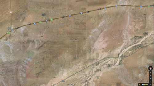
aerial view
satellite imagery
desert
runway
airfield
arid terrain
aviation
top-down view
landscape
transportation
One Visible Future
9 images
by request
hamburg
germany
manmade
Satellite Delight
aerial view
satellite imagery
urban area
residential area
top-down view
architecture
landscape
cityscape
neighborhood
dirt ground
The New Aesthetic
4 images
solar farm
solar panels
desert
aerial view
renewable energy
solar array
satellite imagery
geometric pattern
solar energy
clean energy
STML
6 images
satellite imagery
google earth
aerial view
geography
cartography
topography
map view
landscapes
urban areas
Notational
landsat
chernobyl
gif
Pappus' plane 2
10 images
ed ruscha
book
photography
LESS IS MORE
2 images
kfc
google satellite
ch-ch-changes
the satellite tourist
7 images
aerial view
suburban neighborhood
residential area
planned community
urban planning
patterned streets
housing development
concentric patterns
desert
Advanced Methods for Geospatial Image Analysis
4 images
arizona
sun valley
urbanism
grids
hautepop
imperial valley
centinela
el centro
jetski
prison
google satellite
the satellite tourist
river
desert
farm
cartography
maps and atlases
fav
manmade
Satellite Delight
shipping containers
cargo port
aerial view
logistics
maritime
supply chain
freight
container terminal
industrial
shipping yard
The New Aesthetic
5 images
power plants intentionally censored by google satellite
censorship
power plant
chernobyl
nuclear
glitch
Satellite Delight
6 images
aerial view
building segmentation
cityscape
urban analysis
3d reconstruction
data visualization
new york city
geospatial data
computer vision
digital twin
Notational
aerial view
satellite imagery
desert
remote settlement
arid region
top-down view
sand terrain
town cluster
road
geographic view
Dan W, Software Developer
aerial view
parking lot
cars
top-down view
pattern
vehicles
logistics
grid
massive scale
distribution center
Dan W, Software Developer
satellite imagery
aerial view
coastal town
urban grid
waterfront
cityscape
top-down view
port
infrastructure
coastline
Daily Overview
aerial view
satellite imagery
cityscape
top-down view
vacant lots
real estate
urban planning
suburban area
land use
property maps
Notational
STML
aerial view
cityscape
urban planning
radial design
geometric pattern
top-down view
street layout
architecture
city grid
Daily Overview
airplane
satellite image
maps and atlases
glitch
architecture
manmade
Satellite Delight
aerial view
satellite imagery
industrial park
warehouse district
commercial area
top-down view
infrastructure
cityscape
logistics center
Daily Overview
7 images
thermal imaging
surveillance
infrared
night vision
drone view
black and white
drone
monitoring
aerial view
Dan W, Software Developer