notes.husk.org/likes
images.
similar to
31931414656
.
24 images, most alike first.
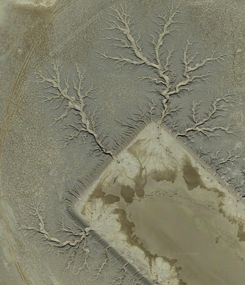
aerial view
open-pit mine
quarry
satellite imagery
terraced landscape
mining site
earthworks
topography
industrial landscape
excavation
Tecznts
3 images
web
tech
terrain
cartography
physics
elastic
animation
webgl
prosthetic knowledge
aerial view
terraced landscape
agriculture
topography
nature
pattern
rice terraces
abstract
black and white
landscape
Notational
7 images
art
technology
bjork
computational photography
photogrammetry
3d
drone
quadcopter
moma
landscape
post-production
music video
projection
dome
prosthetic knowledge
3 images
aerial view
mountains
cityscape
landscape
topography
urban sprawl
skyline
nature
high altitude
panoramic
Dan W, Software Developer
aerial view
winding road
rugged terrain
desert
curvy road
landscape
arid landscape
topography
road trip
nature
Tecznts
2 images
geology
geography
island
rocks
beach
natural
Satellite Delight
mountains
glacier
aerial view
satellite imagery
route
alpine landscape
path
snowy peaks
topography
navigation
The New Aesthetic
7 images
3d
map
mapping
maps
threejs
three.js
location
contour
isometric
visualization
data visualization
data viz
dataviz
data
san francisco
sf
datahacker
2 images
creep
microchip
aerial photography
satellite photo
veins
Satellite Delight
new intelligence
analytics
education
data scientist
careers
big data
IBM Consulting
6 images
art
painted photographs
gerhard richter
arpeggia
aerial view
satellite imagery
pattern
topography
contour lines
landscape
black and white
texture
geological pattern
sinuous lines
Daily Overview
2 images
aerial view
satellite imagery
evaporation ponds
salt pans
mineral extraction
arid landscape
desert
topography
pattern
Dan W, Software Developer
2 images
volcano
bolivia
nature
geology
geography
fav
Satellite Delight
5 images
C4ROL4N
city
sculpture
michael heizer
art
satellite image
architecture
manmade
?
vex
Satellite Delight
9 images
aerial view
oil pumpjack
satellite imagery
desert
industrial landscape
oil extraction
arid terrain
top-down view
energy industry
earth tones
Notational
2 images
topography
3d terrain
digital elevation model
cartography
landscape
path
relief map
geospatial visualization
mesh
black and white
hybrid
submission
The Amazing iOS 6 Maps
Tecznts
7 images
landscape
science
Designer | Curator | Brother
aerial view
satellite imagery
meandering river
salt flats
estuary
mudflats
abstract landscape
top-down view
river delta
earth tones
Advanced Methods for Geospatial Image Analysis
colchester
clouds
satellite imagery
map
ipad
aerial view
weather
navigation
screenshot
sky
Dan W, Software Developer