notes.husk.org/likes
images.
similar to
46243881418
.
24 images, most alike first.
satellite imagery
aerial view
urban area
residential neighborhood
street map
cityscape
top-down view
neighborhood layout
infrastructure
architecture
The New Aesthetic
9 images
by request
hamburg
germany
manmade
Satellite Delight
aerial view
satellite imagery
desert
runway
airfield
arid terrain
aviation
top-down view
landscape
transportation
One Visible Future
landsat
chernobyl
gif
Pappus' plane 2
6 images
satellite imagery
google earth
aerial view
geography
cartography
topography
map view
landscapes
urban areas
Notational
STML
6 images
aerial view
satellite imagery
salt evaporation ponds
salt flats
abstract patterns
landscape
earth tones
salt pans
top-down view
mineral deposits
hyperreal cartography & the unrealized city
airplane
satellite image
maps and atlases
glitch
architecture
manmade
Satellite Delight
2 images
road
swerve
beach
sand
wanderlust
manmade
Satellite Delight
river
desert
farm
cartography
maps and atlases
fav
manmade
Satellite Delight
aerial view
sand dunes
desert
satellite imagery
topography
sand patterns
desert terrain
natural patterns
airstrip
The New Aesthetic
2 images
kfc
google satellite
ch-ch-changes
the satellite tourist
9 images
aerial view
oil pumpjack
satellite imagery
desert
industrial landscape
oil extraction
arid terrain
top-down view
energy industry
earth tones
Notational
5 images
power plants intentionally censored by google satellite
censorship
power plant
chernobyl
nuclear
glitch
Satellite Delight
7 images
thermal imaging
surveillance
infrared
night vision
drone view
black and white
drone
monitoring
aerial view
Dan W, Software Developer
aerial view
satellite imagery
salt flat
desert
top view
dry lake
topography
nature
abstract
landscape
STML
aerial view
satellite imagery
desert
remote settlement
arid region
top-down view
sand terrain
town cluster
road
geographic view
Dan W, Software Developer
4 images
solar farm
solar panels
desert
aerial view
renewable energy
solar array
satellite imagery
geometric pattern
solar energy
clean energy
STML
6 images
aerial view
building segmentation
cityscape
urban analysis
3d reconstruction
data visualization
new york city
geospatial data
computer vision
digital twin
Notational
4 images
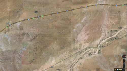
arizona
sun valley
urbanism
grids
hautepop
5 images
C4ROL4N
10 images
ed ruscha
book
photography
LESS IS MORE
cityscape
urban
aerial view
architecture
skyscraper
metropolitan
urban life
The New Aesthetic
aerial view
construction site
dirt road
land development
earthwork
top-down view
landscape
dry soil
tire tracks
construction area
the satellite tourist