notes.husk.org/likes
images.
similar to
53252744490
.
24 images, most alike first.
aerial view
san francisco bay
coastline
cityscape
bay area
satellite imagery
bridges
ocean
geography
tumblr spum
new york city
aerial view
transit map
subway lines
cityscape
transportation network
infrastructure
map overlay
Buzz Andersen
5 images
i love this city
my home (even if i continue to feel like unwelcome 'techie scum')
adore how crisp and bright this picture is -- you can see my apartment!
Simply Sithel
satellite imagery
aerial view
meandering river
agriculture
false color
landscape
topography
hydrology
pattern
Dan W, Software Developer
4 images
feltron
satellite imagery
aerial view
coastline
ocean
bay
estuary
geography
nature
inlets
topography
Landsat
2 images
urban planning
architectural rendering
new york city history
modernism
new york city
housing development
cartography
urbanization
historical documents
hyperreal cartography & the unrealized city
6 images
new york city
central park
skyline
skyscraper
urban planning
3d rendering
shadow study
cityscape
foreverdigital
london
thames barrer
design fiction
flooding
Frankie Roberto
10 images
urban planning
cartography
park accessibility
land use
urban greenery
public space
environmental mapping
spatial analysis
Notational
8 images
san francisco
architecture
topography
urban planning
cartography
grid system
cityscape
urban morphology
graphic design
fuck yeah cartography!
2 images
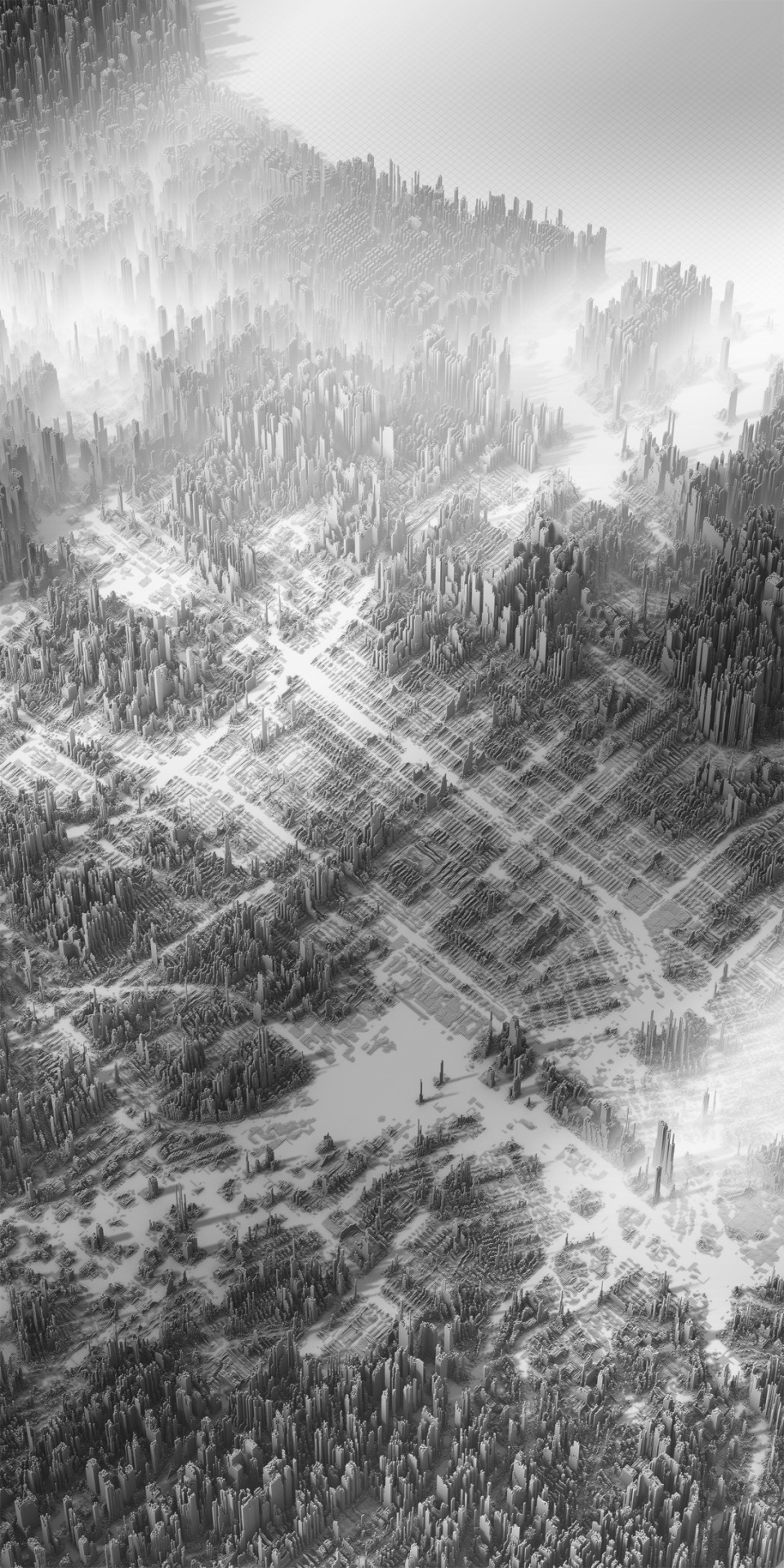
cityscape
digital art
black and white
architecture
abstract
aerial view
skyscraper
dystopian
sci-fi
rachelbinx
new york city
skyline
winter
ice floes
hudson river
aerial view
one world trade center
frozen river
cityscape
Buzz Andersen
3 images
hyperreal cartography & the unrealized city
satellite imagery
aerial view
icebergs
glacier
arctic
polar landscape
mountains
ocean
topography
earth from space
the satellite tourist
satellite imagery
night lights
remote sensing
cartography
aerial view
cityscape
day and night comparison
light patterns
topography
The New Aesthetic
aerial view
waterfront living
canal community
suburban landscape
urban planning
residential area
top-down view
waterways
geometric pattern
Daily Overview
desert
syria
beach
google maps
planet
earth
nature
Satellite Delight
aerial view
waterfront
pier
port
cityscape
boats
maritime
dock
bay
Get The Pliars
boston
new york city
maps
cartography
urban geography
transit networks
northeast united states
city maps
massachusetts
new york
hyperreal cartography & the unrealized city
6 images
aerial view
building segmentation
cityscape
urban analysis
3d reconstruction
data visualization
new york city
geospatial data
computer vision
digital twin
Notational
new york city
heatmap
data visualization
urban planning
geography
urban density
cartography
cityscape
Notational
satellite imagery
aerial view
coastline
ocean
shoreline
nature
landscape
geography
topography
Landsat
new york city
nyc
data visualization
architectural rendering
skyline
aerial view
urban planning
3d rendering
cityscape
jomc.links