notes.husk.org/likes
images.
similar to
62936296175
.
24 images, most alike first.
al butnan
libya
Stochastic Planet
2 images
road
swerve
beach
sand
wanderlust
manmade
Satellite Delight
aerial view
sand dunes
desert
satellite imagery
topography
sand patterns
desert terrain
natural patterns
airstrip
The New Aesthetic
river
desert
farm
cartography
maps and atlases
fav
manmade
Satellite Delight
aerial view
satellite imagery
center-pivot irrigation
agriculture
arid landscape
irrigation patterns
crop fields
desert agriculture
The New Aesthetic
4 images
solar farm
solar panels
desert
aerial view
renewable energy
solar array
satellite imagery
geometric pattern
solar energy
clean energy
STML
9 images
aerial view
oil pumpjack
satellite imagery
desert
industrial landscape
oil extraction
arid terrain
top-down view
energy industry
earth tones
Notational
8 images
nazca lines
nazca line
geoglyph
geography
ancient history
fav
?
Satellite Delight
3 images
farms
farm life
saudi arabia
desert
orange
man made
Satellite Delight
aerial view
satellite imagery
desert
runway
airfield
arid terrain
aviation
top-down view
landscape
transportation
One Visible Future
STML
solar energy
renewable energy
concentrated solar power
desert
aerial view
solar thermal plant
sustainability
clean energy
heliostats
solar farm
Notational
satellite imagery
aerial view
border
agriculture
landscape
topography
geography
land use
arid terrain
Advanced Methods for Geospatial Image Analysis
6 images
australia
geometry
geography
architecture
modified
?
fav
Satellite Delight
7 images
aerial view
suburban neighborhood
residential area
planned community
urban planning
patterned streets
housing development
concentric patterns
desert
Advanced Methods for Geospatial Image Analysis
solar panels
solar farms
solar farm
europe
why not usa?
manmade
Satellite Delight
2 images
geology
geography
island
rocks
beach
natural
Satellite Delight
6 images
aerial view
satellite imagery
salt evaporation ponds
salt flats
abstract patterns
landscape
earth tones
salt pans
top-down view
mineral deposits
hyperreal cartography & the unrealized city
landsat
chernobyl
gif
Pappus' plane 2
satellite imagery
aerial view
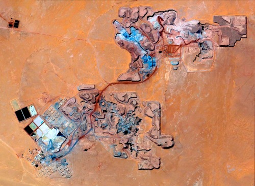
open-pit mine
mining industry
desert
earthwork
resource extraction
arid terrain
excavation site
industrial landscape
Daily Overview
city
sculpture
michael heizer
art
satellite image
architecture
manmade
?
vex
Satellite Delight
aerial view
satellite imagery
desert
top-down view
paved tracks
geometric pattern
arid environment
infrastructure
minimalist composition
desert terrain
Daily Overview
2 images
art
land art
danae stratou
90s
installation
sculpture
TOMBOLARE
8 images
aerial view
satellite imagery
industrial landscape
agricultural fields
shipping containers
evaporation ponds
salt pans
geometric pattern
landscape
Notational