notes.husk.org/likes
images.
similar to
65163732659
.
24 images, most alike first.
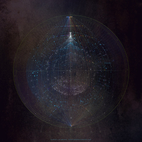
submarine cables
internet usage
fiber optic
connectivity
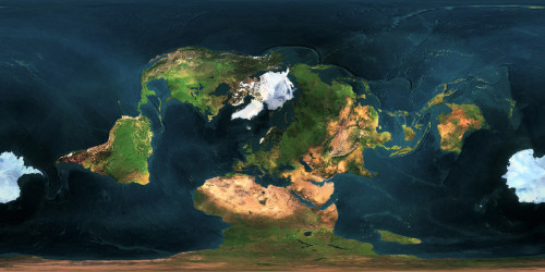
world map
telecommunications
digital infrastructure
data networks
technology
internet penetration
adactumblr
maps
projections
Maps on the Web
data visualization
connectivity
submarine cables
internet infrastructure
fiber optics
world map infographic
telecommunications
global network
digital communication
network topology
Dan W, Software Developer
aerial view
arctic landscape
glacier
ice sheet
satellite imagery
frozen sea
snow-covered
coastline
winter scenery
cold terrain
Dan W, Software Developer
4 images
gif
planet
webgl
interactive
browser
3d
texture
prosthetic knowledge
2 images
gif
gifs
climate
earth
climate change
ted
ted talks
IDEAS WORTH SPREADING
7 images
sea level rise
climate change
global warming
environmental science
geography
flooding
earth science
oceanography
maps
future earth
hyperreal cartography & the unrealized city
4 images
earth orbit
satellite constellation
space debris
satellite tracking
data visualization
orbital mechanics
space technology
satellite network
aerospace
satellite mapping
jomc.links
3 images
art
tech
cartography
data
satellite
realtime
interactive
prosthetic knowledge
twitter
space
lights
map
civilization
Mathias Crawford
2 images
artist
data
art
career
visual
visualization
animated
history
prosthetic knowledge
8 images
internet map
network visualization
data visualization
3d visualization
internet infrastructure
network topology
mobile application
traceroute
autonomous system
network graph
Notational
6 images
abstract earth
digital cartography
network visualization
cosmic art
generative design
intricate patterns
data-driven art
celestial mapping
sci-fi aesthetic
ethereal planet
BBredux
arctic
satellite imagery
map
geography
north pole
earth science
climate
cartography
weather
Dan W, Software Developer
desert
syria
beach
google maps
planet
earth
nature
Satellite Delight
gps coverage
satellite constellation
global visibility map
gnss
satellite signal coverage
geospatial visualization
satellite density
global positioning system
orbital coverage
satellite network
Dan W, Software Developer
earth
planet
space
americas
globe
stars
cosmos
north america
south america
satellite imagery
earth
moon
space
planet
astronomy
cosmos
blue marble
Daily Overview
earth
planet
space
clouds
satellite imagery
glowing
cosmos
digital art
Dan W, Software Developer
satellite imagery
meteorology
scandinavia
cloud cover
weather patterns
remote sensing
atmospheric science
northern europe
atmospheric phenomena
Dan W, Software Developer
shipping lanes
maritime traffic
data visualization
english channel
north sea
vessel tracking
marine logistics
sea routes
global trade
maritime
Common-or-Garden
satellite imagery
islands
ocean
clouds
aerial view
earth
nature
archipelago
topography
landscape
Landsat
earth
data visualization
weather patterns
atmospheric flow
digital art
global phenomena
fluid dynamics
abstract science
planetary view
blue aesthetic
Tecznts
4 images
glitch
processing
image
tech
art
pixel
sorting
prosthetic knowledge