notes.husk.org/likes
images.
similar to
68449772306
.
24 images, most alike first.
4 images
solar farm
solar panels
desert
aerial view
renewable energy
solar array
satellite imagery
geometric pattern
solar energy
clean energy
STML
9 images
aerial view
oil pumpjack
satellite imagery
desert
industrial landscape
oil extraction
arid terrain
top-down view
energy industry
earth tones
Notational
aerial view
landscape
agriculture
fields
canal
digital art
mosaic
geometric pattern
abstract
top-down view
Dan W, Software Developer
aerial view
satellite imagery
desert
top-down view
paved tracks
geometric pattern
arid environment
infrastructure
minimalist composition
desert terrain
Daily Overview
8 images
aerial view
satellite imagery
industrial landscape
agricultural fields
shipping containers
evaporation ponds
salt pans
geometric pattern
landscape
Notational
aerial view
agriculture
farming
crops
green fields
desert
geometric pattern
top-down view
cultivation
irrigation
Daily Overview
solar panels
solar farms
solar farm
europe
why not usa?
manmade
Satellite Delight
3 images
aerial view
mountains
cityscape
landscape
topography
urban sprawl
skyline
nature
high altitude
panoramic
Dan W, Software Developer
2 images
geology
geography
island
rocks
beach
natural
Satellite Delight
alcatraz
sketch
art
superarchitects
architectureporn
arch_more
activism
instaarch
critday
archisketcher
sketchporn
instaart
design
architecture
soarch
graffiti
cornelius
drawing
nativedesign
visible certainty
green
golf course
desert
lonely road
maps
Satellite Delight
7 images
aerial view
suburban neighborhood
residential area
planned community
urban planning
patterned streets
housing development
concentric patterns
desert
Advanced Methods for Geospatial Image Analysis
aerial view
satellite imagery
evaporation ponds
salt pans
desert
aquaculture
reservoir
top-down view
arid environment
geometric
Daily Overview
aerial view
agricultural fields
pattern
satellite imagery
landscape
agriculture
geometric
texture
Daily Overview
aerial view
winter
geometric pattern
agricultural fields
top-down view
satellite imagery
pattern
snow covered
black and white
Tecznts
water
lake
pollution
railroad
earth
manmade
Satellite Delight
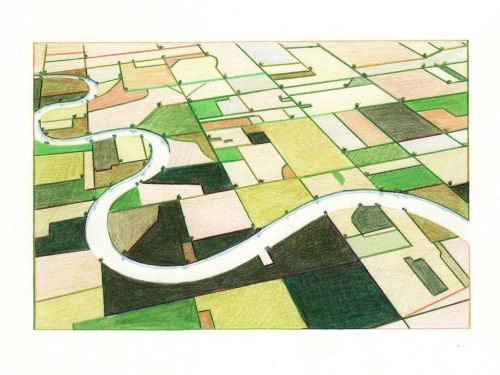
2 images
aerial view
landscape illustration
winding river
agriculture
colored pencil drawing
agricultural landscape
nature art
green fields
river valley
pastoral scene
things magazine tumblr
river
desert
farm
cartography
maps and atlases
fav
manmade
Satellite Delight
aerial view
satellite imagery
suburban landscape
residential area
housing development
top-down view
urban planning
neighborhood
infrastructure
street pattern
Daily Overview
aerial view
satellite imagery
center-pivot irrigation
agriculture
arid landscape
irrigation patterns
crop fields
desert agriculture
The New Aesthetic
aerial view
railway yard
train tracks
freight cars
logistics
transportation
industrial
infrastructure
railroad
top-down view
Daily Overview
3 images
aerial view
agriculture
irrigation
crop rows
geometric pattern
satellite imagery
land use
textures
farming patterns
Notational
5 images
nuclear
clouds
atomic
nuclear power
chernobyl
fav
manmade
Satellite Delight
3 images
farms
farm life
saudi arabia
desert
orange
man made
Satellite Delight