notes.husk.org/likes
images.
similar to image 5 of
68449772306
.
24 images, most alike first.
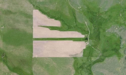
aerial view
landscape
agriculture
fields
canal
digital art
mosaic
geometric pattern
abstract
top-down view
Dan W, Software Developer
alcatraz
sketch
art
superarchitects
architectureporn
arch_more
activism
instaarch
critday
archisketcher
sketchporn
instaart
design
architecture
soarch
graffiti
cornelius
drawing
nativedesign
visible certainty
green
golf course
desert
lonely road
maps
Satellite Delight
9 images
aerial view
oil pumpjack
satellite imagery
desert
industrial landscape
oil extraction
arid terrain
top-down view
energy industry
earth tones
Notational
2 images
aerial view
landscape illustration
winding river
agriculture
colored pencil drawing
agricultural landscape
nature art
green fields
river valley
pastoral scene
things magazine tumblr
4 images
solar farm
solar panels
desert
aerial view
renewable energy
solar array
satellite imagery
geometric pattern
solar energy
clean energy
STML
2 images
geology
geography
island
rocks
beach
natural
Satellite Delight
maps
farms
green
geometric
geographic
Satellite Delight
aerial view
satellite imagery
evaporation ponds
salt pans
desert
aquaculture
reservoir
top-down view
arid environment
geometric
Daily Overview
imperial valley
centinela
el centro
jetski
prison
google satellite
the satellite tourist
8 images
aerial view
satellite imagery
industrial landscape
agricultural fields
shipping containers
evaporation ponds
salt pans
geometric pattern
landscape
Notational
6 images
satellite imagery
google earth
aerial view
geography
cartography
topography
map view
landscapes
urban areas
Notational
border hacks
mexico
Eating at the trash bin of Ideology
6 images
australia
geometry
geography
architecture
modified
?
fav
Satellite Delight
5 images
power plants intentionally censored by google satellite
censorship
power plant
chernobyl
nuclear
glitch
Satellite Delight
10 images
ed ruscha
book
photography
LESS IS MORE
solar panels
solar farms
solar farm
europe
why not usa?
manmade
Satellite Delight
aerial view
satellite imagery
agricultural land
water basin
geometrical pattern
canal
agriculture
topography
rural scenery
landscape
Dan W, Software Developer
aerial view
satellite imagery
desert
top-down view
paved tracks
geometric pattern
arid environment
infrastructure
minimalist composition
desert terrain
Daily Overview
urban planning
landscape architecture
master plan
site plan
aerial view
green infrastructure
waterfront development
cityscape
urban regeneration
Tecznts
aerial view
satellite imagery
industrial landscape
evaporation ponds
salt mine
magenta ponds
top-down view
abstract landscape
mining facility
patterned terrain
Daily Overview
5 images
nuclear
clouds
atomic
nuclear power
chernobyl
fav
manmade
Satellite Delight
landsat
chernobyl
gif
Pappus' plane 2
aerial view
rail yard
freight trains
agriculture
center-pivot irrigation
industrial
top-down view
irrigation patterns
railway tracks
Daily Overview