notes.husk.org/likes
images.
similar to
68468868888
.
24 images, most alike first.
aerial view
open-pit mine
quarry
satellite imagery
terraced landscape
mining site
earthworks
topography
industrial landscape
excavation
Tecznts
Tecznts
2 images
aerial view
satellite imagery
evaporation ponds
salt pans
mineral extraction
arid landscape
desert
topography
pattern
Dan W, Software Developer
2 images
creep
microchip
aerial photography
satellite photo
veins
Satellite Delight
snowy mountains
glacier
aerial view
arctic landscape
ice floes
blue texture
frozen sea
winter scenery
mountain peaks
abstract nature
Notational
desert
syria
beach
google maps
planet
earth
nature
Satellite Delight
8 images
nazca lines
nazca line
geoglyph
geography
ancient history
fav
?
Satellite Delight
aerial view
3d map
topography
landscape
satellite imagery
digital mapping
earthwork
excavation
river
The Amazing iOS 6 Maps
5 images
outdoor amphitheater
desert
mountain range
wooden seats
geometric pattern
arid environment
rocky terrain
rustic design
patterned seats
desert scenery
Notational
aerial view
construction site
dirt road
land development
earthwork
top-down view
landscape
dry soil
tire tracks
construction area
the satellite tourist
2 images
snow
elephant
drifts
ice 9
blue
Satellite Delight
space age
satellite
ground support
earth
macro
nature
Satellite Delight
satellite imagery
aerial view
geological feature
crater
sand ripples
dunes
topography
landscape
black and white
texture
Dan W, Software Developer
8 images
aerial view
satellite imagery
industrial landscape
agricultural fields
shipping containers
evaporation ponds
salt pans
geometric pattern
landscape
Notational
aerial view
sand dunes
desert
satellite imagery
topography
sand patterns
desert terrain
natural patterns
airstrip
The New Aesthetic
aerial view
satellite imagery
evaporation ponds
salt flats
desert
mineral extraction
pattern
top-down view
lithium mining
Dan W, Software Developer
6 images
australia
geometry
geography
architecture
modified
?
fav
Satellite Delight
aerial view
satellite imagery
meandering river
salt flats
estuary
mudflats
abstract landscape
top-down view
river delta
earth tones
Advanced Methods for Geospatial Image Analysis
2 images
geology
geography
island
rocks
beach
natural
Satellite Delight
aerial view
winter
geometric pattern
agricultural fields
top-down view
satellite imagery
pattern
snow covered
black and white
Tecznts
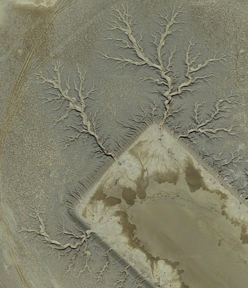
satellite imagery
aerial view
desert
geology
topography
arid terrain
erosion patterns
earth tones
terrain texture
TO INFINITY & BEYOND
geothermal
hot spring
aerial view
mineral deposits
nature
landscape
earth tones
geology
abstract texture
colorful spring
Tecznts
aerial view
landscape
salt flats
desert
mineral deposits
turquoise water
top-down photography
nature
geology
abstract landscape
Daily Overview
7 images
3d
map
mapping
maps
threejs
three.js
location
contour
isometric
visualization
data visualization
data viz
dataviz
data
san francisco
sf
datahacker