notes.husk.org/likes
images.
similar to image 4 of
80165368916
.
24 images, most alike first.
aerial view
satellite imagery
industrial park
warehouse district
commercial area
top-down view
infrastructure
cityscape
logistics center
Daily Overview
aerial view
parking lot
cars
top-down view
pattern
vehicles
logistics
grid
massive scale
distribution center
Dan W, Software Developer
2 images
cityscape
digital art
black and white
architecture
abstract
aerial view
skyscraper
dystopian
sci-fi
rachelbinx
3 images
calgary
architecture
pedestrians
system design
Frankie Roberto
urban planning
city map
architectural drawing
cartography
graphic map
site plan
map illustration
urban layout
diagrammatic art
Tecznts
abstract
city map
geometric pattern
digital art
architectural design
top view
minimalism
cityscape
grid
Tecznts
4 images
seattle map
historical map
urban planning
olmsted plan
transit map
vintage cartography
seattle history
municipal plans commission
green lake seattle
hyperreal cartography & the unrealized city
google search
mapquest
2001
retro internet
digital maps
cartography
internet history
vintage web
search engine
web design
Tecznts
3 images
tech
design
computer vision
cars
google
prosthetic knowledge
2 images
urban planning
architectural rendering
new york city history
modernism
new york city
housing development
cartography
urbanization
historical documents
hyperreal cartography & the unrealized city
6 images
aerial view
building segmentation
cityscape
urban analysis
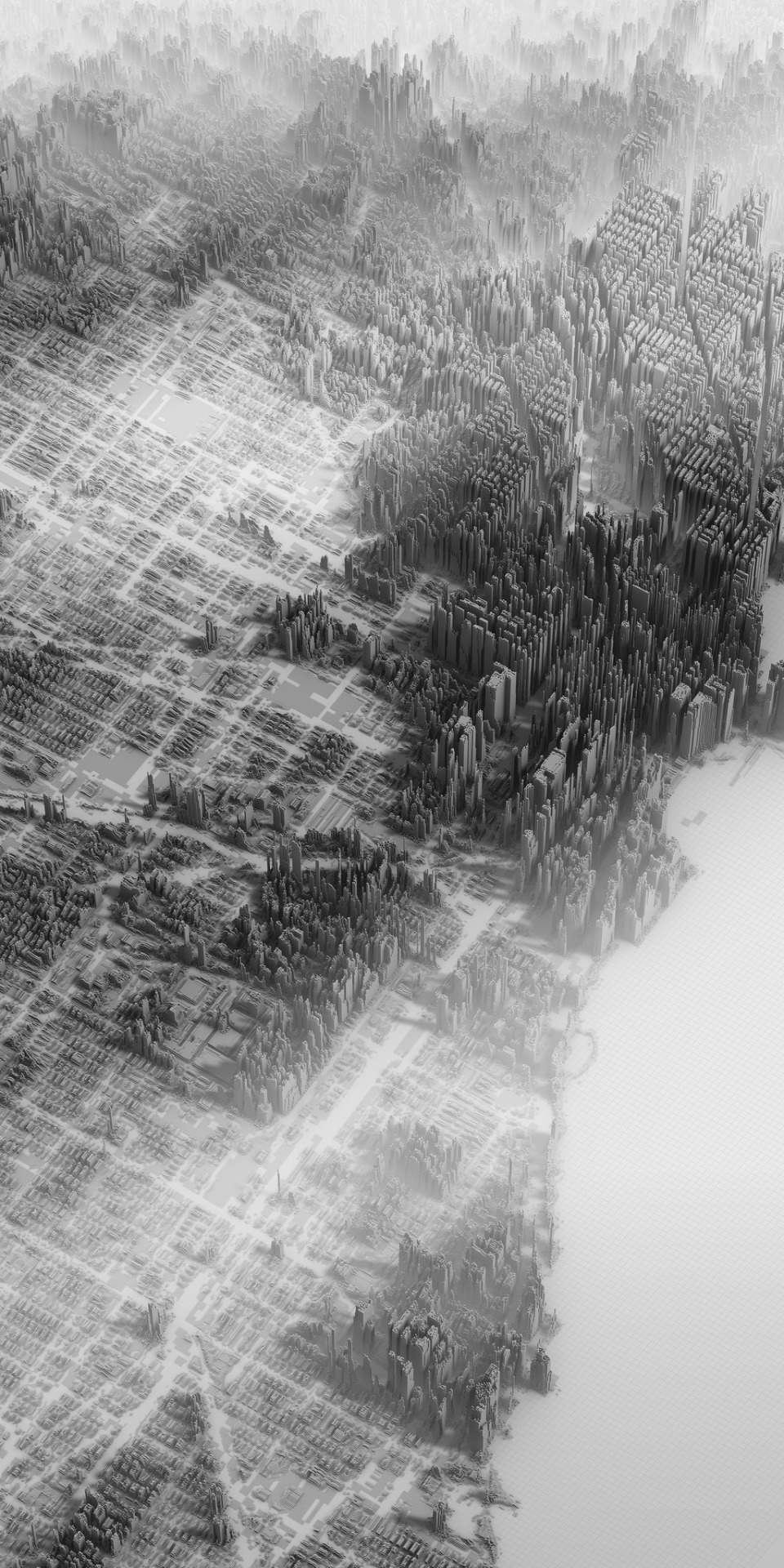
3d reconstruction
data visualization
new york city
geospatial data
computer vision
digital twin
Notational
a day in the life of america
archive death drive
new york city
heatmap
data visualization
urban planning
geography
urban density
cartography
cityscape
Notational
cartography
urban planning
topography
collage
aerial view
minimalism
data visualization
graphic design
geography
Dan W, Software Developer
urban planning
landscape architecture
master plan
site plan
aerial view
green infrastructure
waterfront development
cityscape
urban regeneration
Tecznts
aerial view
satellite imagery
suburban landscape
residential area
housing development
top-down view
urban planning
neighborhood
infrastructure
street pattern
Daily Overview
architectural drawing
abstract composition
conceptual design
urban planning
spatial analysis
graphic design
minimalism
technical drawing
geometric abstraction
cartographic art
Notational
3 images
hyperreal cartography & the unrealized city
maps
london
kings cross
Frankie Roberto
2 images
inner belt
i-695
cambridge
massachusetts
unbuilt highway
map
cartography
highway
traffic
hyperreal cartography & the unrealized city
border hacks
mexico
Eating at the trash bin of Ideology
aerial view
satellite imagery
urban planning
circular pattern
radial design
planned community
geometric pattern
suburban landscape
residential development
Daily Overview
central park
new york city
aerial view
cityscape
skyscraper
urban jungle
Dan W, Software Developer
city map
isometric illustration
urban planning
black and white
architectural drawing
aerial view
line art
cityscape
vintage
detailed sketch
Tecznts