notes.husk.org/likes
images.
similar to
88281784959
.
24 images, most alike first.
geothermal
hot spring
aerial view
mineral deposits
nature
landscape
earth tones
geology
abstract texture
colorful spring
Tecznts
6 images
australia
geometry
geography
architecture
modified
?
fav
Satellite Delight
2 images
aerial view
satellite imagery
evaporation ponds
salt pans
mineral extraction
arid landscape
desert
topography
pattern
Dan W, Software Developer
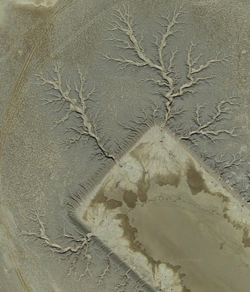
aerial view
satellite imagery
meandering river
salt flats
estuary
mudflats
abstract landscape
top-down view
river delta
earth tones
Advanced Methods for Geospatial Image Analysis
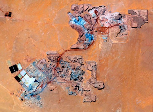
satellite imagery
aerial view
open-pit mine
mining industry
desert
earthwork
resource extraction
arid terrain
excavation site
industrial landscape
Daily Overview
8 images
aerial view
satellite imagery
industrial landscape
agricultural fields
shipping containers
evaporation ponds
salt pans
geometric pattern
landscape
Notational
2 images
river
red
desert
landscape
mars
not mars
nature
?
Satellite Delight
aerial view
satellite imagery
evaporation ponds
salt flats
desert
mineral extraction
pattern
top-down view
lithium mining
Dan W, Software Developer
7 images
landscape
science
Designer | Curator | Brother
aerial view
satellite imagery
evaporation ponds
lithium mining
salt flats
desert
red earth
top-down view
mineral extraction
geometric pattern
Daily Overview
2 images
aerial view
satellite imagery
landscape
water
reservoir
topography
nature
earth tones
abstract landscape
rachelbinx
3 images
farms
farm life
saudi arabia
desert
orange
man made
Satellite Delight
2 images
geology
geography
island
rocks
beach
natural
Satellite Delight
2 images
creep
microchip
aerial photography
satellite photo
veins
Satellite Delight
aerial view
open-pit mine
quarry
satellite imagery
terraced landscape
mining site
earthworks
topography
industrial landscape
excavation
Tecznts
water
lake
pollution
railroad
earth
manmade
Satellite Delight
2 images
volcano
bolivia
nature
geology
geography
fav
Satellite Delight
aerial view
meandering river
satellite imagery
oxbow lakes
river bends
nature patterns
topography
sinuous
landscape
waterways
Col. Chris Hadfield
aerial view
satellite imagery
evaporation ponds
salt pans
desert
aquaculture
reservoir
top-down view
arid environment
geometric
Daily Overview
aerial view
terraced landscape
agriculture
topography
nature
pattern
rice terraces
abstract
black and white
landscape
Notational
2 images
snow
elephant
drifts
ice 9
blue
Satellite Delight
red
pink
magenta
desert island
radioactive
Satellite Delight
aerial view
canyon
reservoir
landscape
nature
arid terrain
rocky cliffs
waterway
top-down view
desert
Daily Overview
satellite imagery
aerial view
meandering river
agriculture
false color
landscape
topography
hydrology
pattern
Dan W, Software Developer