notes.husk.org/likes
images.
similar to image 3 of
93101682703
.
24 images, most alike first.
landsat
chernobyl
gif
Pappus' plane 2
2 images
geology
geography
island
rocks
beach
natural
Satellite Delight
3 images
aerial view
agriculture
irrigation
crop rows
geometric pattern
satellite imagery
land use
textures
farming patterns
Notational
7 images
thermal imaging
surveillance
infrared
night vision
drone view
black and white
drone
monitoring
aerial view
Dan W, Software Developer
sanfrancisco
bayarea
aerialphotography
geography
davidrumsey
Map Library
aerial view
construction site
dirt road
land development
earthwork
top-down view
landscape
dry soil
tire tracks
construction area
the satellite tourist
2 images
snow
elephant
drifts
ice 9
blue
Satellite Delight
2 images
aerial view
ruins
war
destruction
devastation
rubble
history
black and white
urban destruction
texture
Fresser.
river
desert
farm
cartography
maps and atlases
fav
manmade
Satellite Delight
9 images
aerial view
oil pumpjack
satellite imagery
desert
industrial landscape
oil extraction
arid terrain
top-down view
energy industry
earth tones
Notational
city
sculpture
michael heizer
art
satellite image
architecture
manmade
?
vex
Satellite Delight
circles
dots
desert
libya
farms
manmade
vex
Satellite Delight
10 images
Notational
aerial view
satellite imagery
desert
remote settlement
arid region
top-down view
sand terrain
town cluster
road
geographic view
Dan W, Software Developer
4 images
abstract
black and white
geometric pattern
fine line drawing
intricate details
mathematical art
cosmic imagery
ink art
network of lines
black and white aesthetic
Notational
aerial view
terraced landscape
agriculture
topography
nature
pattern
rice terraces
abstract
black and white
landscape
Notational
2 images
creep
microchip
aerial photography
satellite photo
veins
Satellite Delight
abstract
black and white
aerial view
landscape
texture
mountains
nature
pattern
Tecznts
aerial view
winter
geometric pattern
agricultural fields
top-down view
satellite imagery
pattern
snow covered
black and white
Tecznts
aerial view
satellite imagery
meandering river
salt flats
estuary
mudflats
abstract landscape
top-down view
river delta
earth tones
Advanced Methods for Geospatial Image Analysis
glitch art
abstract
digital art
fragmented
geometric pattern
deconstructed landscape
texture
earthy tones
modern art
STML
8 images
san francisco
architecture
topography
urban planning
cartography
grid system
cityscape
urban morphology
graphic design
fuck yeah cartography!
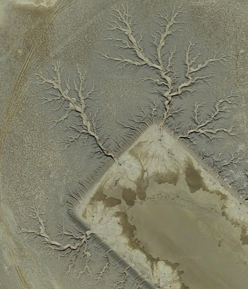
satellite imagery
aerial view
desert
geology
topography
arid terrain
erosion patterns
earth tones
terrain texture
TO INFINITY & BEYOND
river
body of water
satellite image
aerial view
green
nature
Satellite Delight