notes.husk.org/likes
images.
similar to
93200977005
.
24 images, most alike first.
satellite imagery
environmental change
shrinking sea
aral sea
climate change
drought
landscape transformation
water depletion
desertification
before and after
Joshua Nguyen
satellite imagery
breakwater
sediment plumes
ocean currents
aerial view
coastline
marine environment
port
coastal morphology
turquoise water
Dan W, Software Developer
aerial view
landscape
salt flats
desert
mineral deposits
turquoise water
top-down photography
nature
geology
abstract landscape
Daily Overview
maps
farms
green
geometric
geographic
Satellite Delight
river
desert
farm
cartography
maps and atlases
fav
manmade
Satellite Delight
2 images
aerial view
satellite imagery
landscape
water
reservoir
topography
nature
earth tones
abstract landscape
rachelbinx
2 images
aerial view
satellite imagery
evaporation ponds
salt pans
mineral extraction
arid landscape
desert
topography
pattern
Dan W, Software Developer
aerial view
sand dunes
desert
satellite imagery
topography
sand patterns
desert terrain
natural patterns
airstrip
The New Aesthetic
type 1 snapshots
bright green
london
england
wind farms
Eating at the trash bin of Ideology
satellite imagery
aerial view
desert
geology
topography
arid terrain
erosion patterns
earth tones
terrain texture
TO INFINITY & BEYOND
3 images
farms
farm life
saudi arabia
desert
orange
man made
Satellite Delight
landsat
chernobyl
gif
Pappus' plane 2
2 images
river
red
desert
landscape
mars
not mars
nature
?
Satellite Delight
Tupperwolf
8 images
nazca lines
nazca line
geoglyph
geography
ancient history
fav
?
Satellite Delight
satellite imagery
aerial view
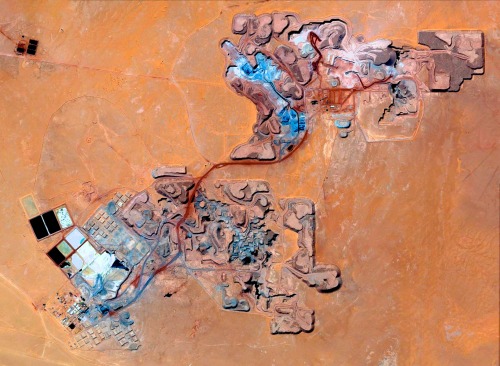
open-pit mine
mining industry
desert
earthwork
resource extraction
arid terrain
excavation site
industrial landscape
Daily Overview
desert
syria
beach
google maps
planet
earth
nature
Satellite Delight
aerial view
canyon
reservoir
landscape
nature
arid terrain
rocky cliffs
waterway
top-down view
desert
Daily Overview
2 images
geology
geography
island
rocks
beach
natural
Satellite Delight
9 images
aerial view
oil pumpjack
satellite imagery
desert
industrial landscape
oil extraction
arid terrain
top-down view
energy industry
earth tones
Notational
satellite imagery
coastline
aerial view
ocean
clouds
landscape
nature
seascape
earth
greenery
Landsat
aerial view
construction site
dirt road
land development
earthwork
top-down view
landscape
dry soil
tire tracks
construction area
the satellite tourist
aerial view
satellite imagery
meandering river
salt flats
estuary
mudflats
abstract landscape
top-down view
river delta
earth tones
Advanced Methods for Geospatial Image Analysis
Notational