notes.husk.org/likes
images.
similar to image 2 of
97801366269
.
24 images, most alike first.
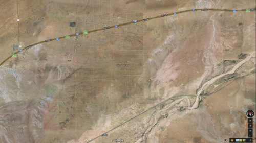
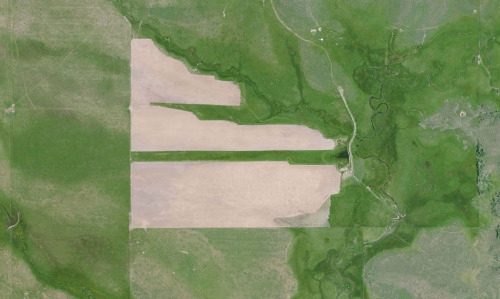
aerial view
open-pit mine
quarry
satellite imagery
terraced landscape
mining site
earthworks
topography
industrial landscape
excavation
Tecznts
aerial view
winding road
rugged terrain
desert
curvy road
landscape
arid landscape
topography
road trip
nature
Tecznts
2 images
kfc
google satellite
ch-ch-changes
the satellite tourist
green
golf course
desert
lonely road
maps
Satellite Delight
4 images
runway
aerial view
satellite imagery
airport
aviation
airstrip
top-down view
infrastructure
transportation
STML
4 images
arizona
sun valley
urbanism
grids
hautepop
life
what is this even
Tecznts
10 images
ed ruscha
book
photography
LESS IS MORE
9 images
by request
hamburg
germany
manmade
Satellite Delight
6 images
australia
geometry
geography
architecture
modified
?
fav
Satellite Delight
4 images
solar farm
solar panels
desert
aerial view
renewable energy
solar array
satellite imagery
geometric pattern
solar energy
clean energy
STML
solar panels
solar farms
solar farm
europe
why not usa?
manmade
Satellite Delight
city
sculpture
michael heizer
art
satellite image
architecture
manmade
?
vex
Satellite Delight
9 images
aerial view
oil pumpjack
satellite imagery
desert
industrial landscape
oil extraction
arid terrain
top-down view
energy industry
earth tones
Notational
3 images
web
tech
terrain
cartography
physics
elastic
animation
webgl
prosthetic knowledge
maps
farms
green
geometric
geographic
Satellite Delight
aerial view
satellite imagery
desert
runway
airfield
arid terrain
aviation
top-down view
landscape
transportation
One Visible Future
3 images
aerial view
mountains
cityscape
landscape
topography
urban sprawl
skyline
nature
high altitude
panoramic
Dan W, Software Developer
aerial view
sand dunes
desert
satellite imagery
topography
sand patterns
desert terrain
natural patterns
airstrip
The New Aesthetic
aerial view
construction site
dirt road
land development
earthwork
top-down view
landscape
dry soil
tire tracks
construction area
the satellite tourist
aerial view
landscape
agriculture
fields
canal
digital art
mosaic
geometric pattern
abstract
top-down view
Dan W, Software Developer
aerial view
highway interchange
geometric pattern
road
infrastructure
top-down view
civil engineering
urban planning
symmetry
freeway
Daily Overview
5 images
power plants intentionally censored by google satellite
censorship
power plant
chernobyl
nuclear
glitch
Satellite Delight